Change Islands Interpretation Center
|
Hosts: Change Islands Tourism Committee Address: Change Islands Interpretation Center PO Box 67 Change Islands, NL CANADA A0G 1R0 |
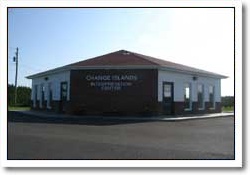 Change Islands Interpretation Center |
|
|
Reservations & Information: Tel: (709) 621-3177 |
Introduction
 Change Islands Quilts |
![]() he Change Islands Interpretation Centre has a lot of information for tourists looking to know about the history of Newfoundland and Change Islands. The walls are covered with information on Weather lore, Newfoundland sayings, wall of achievements (Change Islands Residents), local heroes, etc... You will find craft items such as: Crafts, quilts, knitting goods, photos and other items. Crafts and quilts are done by multiple local residents, photos done by Ed Scammell and Rock paintings done by Nathan Wells. There is also a Tea Room where they provide and sell snack foods, but the main focus of the interpretation centre is the Geological interpretation of Change Islands.
he Change Islands Interpretation Centre has a lot of information for tourists looking to know about the history of Newfoundland and Change Islands. The walls are covered with information on Weather lore, Newfoundland sayings, wall of achievements (Change Islands Residents), local heroes, etc... You will find craft items such as: Crafts, quilts, knitting goods, photos and other items. Crafts and quilts are done by multiple local residents, photos done by Ed Scammell and Rock paintings done by Nathan Wells. There is also a Tea Room where they provide and sell snack foods, but the main focus of the interpretation centre is the Geological interpretation of Change Islands.
Geology
According to Dr.Thomas Eastler, Change Islands has some of the oldest rocks in North America. Dr.Eastler came to Change Islands in 1964 as a Geology student from Farmington Maine University and was the first to map the geological features of this area of the province, to this extent from 1966-1969.
Some of his most interesting discoveries on Change Islands were Eurypterid tracks . The ones found here are the best examples in the world of the Eurypterid and a rock wall of sole marks that was uplifted from the ocean floor is the best example in North America.
Change Islands is made up of 3 sections of rock formations; the South End formation (the youngest section of rock formation), the North End formation, and the Change Islands Formation (the oldest section of rock formation).
North End Formation
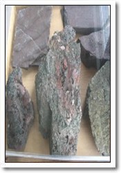 North End Formation |
The Museum is built on this formation. This unit is made almost entirely of volcanic materials including ash deposits and Lava flows but it also includes a few sedimentary horizons.
An interesting feature of some of the lava flows is "Columnar jointing". When a hot layer of lava cools it shrinks symmetrically leading to the pattern of hexagonal Cracks known as columnar joints.
The North End formation also contains minor sedimentary horizons. These are chiefly red mudstone. Some of these mudstones preserve traces of raindrops, Positive and Negative.
Change Islands Formation
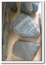 Change Islands Formation |
The Change Islands formation crops out along the central western side of Change Islands. This formation consists of hundreds to thousands of layers of siltstone, mudstone and minor sandstone and pebblestone. Typically, these layers occur in couplets of a fine and a course material. Not al, but some couplets display a continuous grading of grain size. These are termed Graded Beds. Graded beds in the Change Islands formation are interpreted to be the deposits of submarine avalanches. Slurries of sediment raced downhill from shallow to deep water and consequentially deposited coarse to fine sediment, this forming Graded beds. The surfaces between layers display shape indicating the flow of direction of the turbidity currents. These are termed Sole Marks and are of 2 types, grooves and flutes. The grooves are gouges made by particles in the turbidity current and the flutes represent scours made by the water itself.
The Change Islands Formation also contains trace fossils. Trace fossils are not actual remains of living organisms, but left by organisms.
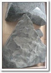 South End Formation |
South End Formation
The South End formation underlies almost the entire south end of the island but is also found on the most north-easterly small island north of town. Sand is abundant in this formation. The most interesting structures are ripple marks and raindrop prints. The raindrop prints are diagnostic evidence of deposition above sea level.
* All this information and more can be found at the Change Islands interpretation center.